Overview
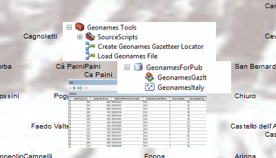
Geonames Locator can be used to create a gazeteer-style locator from the geonames country files available through NGA.
The National Geospatial-Intelligence Agency (NGA) publishes tables of geographic names for countries and geopolitical areas (excluding the United States of America, its dependent areas, and Antarctica).
Geonames Locator is an Esri Defense solution for creating a gazetteer-style locator from the NGA UTF-8 encoded tab-delimited geonames country files available from the NGA GEONet Names Server (GNS) Country Files page.
These locators can be used in ArcGIS for Desktop or published as a geocode service via ArcGIS Server for use by desktop, web, and mobile clients.
Requirements
The specific software and system requirements for Geonames Locator are listed below.
| Requirement |
Description |
| Software |
|
What you get
When you download Geonames Locator, you will find the following:
| File |
Folder |
Description |
| GeonamesLocator.zip |
ArcGIS Pro |
Folder containing an ArcGIS Pro project template to get you started with geonames workflows. |
| ArcMap |
Folder containing sample data, toolboxes, and map document to get you started with geonames workflows. |
| Resources |
Supporting files for Geonames Locator. |
What's New
Below are the release notes for Geonames Locator. If you need support, please contact Esri Support Services. If you'd like to get help from other defense community members, post your question on GeoNet.
| Date |
Description |
|
February 2021
|
|
|
September 2017
|
|
| 4.1.1 |
- Modified the default output path in the Create Geonames Gazetteer Locator script tool to %scratchFolder%\Geonames
|
| 4.1.0 |
-
Support for NGA geonames text file schema that existed on 29 March 2016:
- Modified fields in the GeonamesTemplate feature class, LoadGeonames.py, and CheckInput.py scripts to include two new date fields, F_EFCTV_DT (Feature effectivity date), and F_TERM_DT (Feature termination date)
- Modified field aliases in the GeonamesTemplate feature class to reflect field description changes
- Modified data type for fields DMS_LAT and DMS_LONG from numeric to text in the GeonamesTemplate feature class to handle a change in field value format; NGA geonames text files now store the values as DMSH (degrees, minutes, seconds, and hemisphere)
- Modified length of text field NOTE in the GeonamesTemplate feature class; increased from 255 to 4000 characters.
- Modified length of text field DSG (Feature Designation Code) in the GeonamesTemplate feature class; increased from 5 to 6 characters
- Modified the field value prefix for field USER_FLD in the LoadGeonames.py script; changed from "Principal Admin Division:" to "Primary Admin Division:" to reflect ADM1 field description change
|
| 4.0.0 |
- Modified the address locator field map in the Create Geonames Gazetteer Locator model for the ArcGIS 10.3 Gazetteer style
|
| 3.0.0 |
- Modified the address locator field map in the Create Geonames Gazetteer Locator model for the ArcGIS 10.2 Gazetteer style
|
| 2.0.0 |
- Updated fields in the GeonamesTemplate feature class and CheckInput.py script to include new fields in NGA geonames text files
- The Load Geonames File model no longer fails when input geonames text file contains fields that do not exist in input feature class; now displays warning
- The Load Geonames File model no longer populates the Latitude/Longitude fields in the input feature class; the model now executes the Add XY Coordinates tool to populate the new POINT_X and POINT_Y fields. This prevents the model from failing if the number format of the operating system is non-US
- Creating the point geometry object in the Load Geonames File model no longer fails if the number format of the operating system is non-US
- Modified the address locator field map in the Create Geonames Gazetteer Locator model for the ArcGIS 10.1 Gazetteer style
|