This item has been moved to mature support. Please see What's new for more information.
Overview
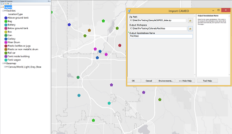
CAMEO Tools is a configuration of ArcGIS that can be used by mapping technicians to load CAMEO data in to ArcGIS and perform more detailed analysis.
Developed by the United States Environmental Protection Agency (EPA) and the National Oceanic and Atmospheric Administration (NOAA), the Computer-Aided Management of Emergency Operations (CAMEO) software suite is used to prepare for and respond to chemical emergencies.
Requirements
CAMEO tools requires specific software.
| Requirement | Description |
| Software | Map authoring
|
What you get
When you download CAMEO Tools, you'll find the following files:
| Directory | Item | Description |
| Application | Publication Tools | A folder containing the CAMEO Tools toolbox. |
| MapsandGeodatabase | CAMEOData.zip | A zip file containing sample outputs from a CAMEO system. |
What's new
Below are the release dates and notes for CAMEO Tools.
| Date | Description |
| October 2019 |
|
| September 2016 |
|
| October 2015 |
|
| July 2015 |
|
| May 2015 |
|
There is a newer version...
CAMEO Tools has been moved to mature support and replaced with CAMEO Data Management.