Overview

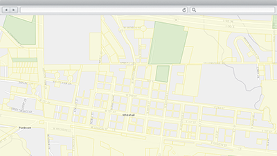
Community Parcels is a configuration of ArcGIS that helps communities (states, counties, emergency operations centers, and so on) aggregate parcel information from authoritative sources and use this information to facilitate valuation, emergency response, permitting, land use and other related workflows.
Typically, parcel data is managed by local governments, used extensively to manage local government operations, and shared with the general public. Aggregating this data in to larger geographies (county, region, watershed, or state) to address common needs or issues helps organizations improve response activities and address land use and regulatory issues at a more regional level.
Requirements
Community Parcels requires specific technical experience and software. Minimum system requirements for the ArcGIS Platform can be found on the Support website.
Community Parcels is supported on ArcGIS 10.2 and 10.3.
| Requirement | Description |
| Experience |
|
| Software |
Map Authoring
GIS Service Hosting
|
What you get
When you download Community Parcels, you'll find the following files:
| Directory | Item | Description |
| Application | Publication Tools | A folder containing Python scripts used to field map, publish and update parcel data. |
| MapsandGeodatabase | Community Parcels.lpk | An ArcGIS layer package used to publish the Community Parcel service. |
What's new
Below are the release dates and notes for Community Parcels.
| Date | Description |
| February 2016 |
|
| July 2015 |
|
| May 2015 |
|
| February 2015 |
|
| December 2014 |
|
| June 2014 |
|
You may be interested in
ArcGIS for Emergency Management includes several related maps and apps that also can be configured in your organization: