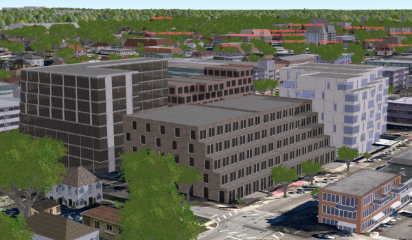
The Visualize Proposed Development ArcGIS Pro project can be used by GIS staff, planners, or architects to publish a 3D scene that contains new development plans and share the proposed plans with other members in their organization.
3D models in many common formats (for example, .dae, .flt, .3ds, .wrl) can be imported directly and placed into the scene. Alternatively, you can load a 3D model from a multipatch feature class and hide existing features such as buildings and trees that overlap with the new development before publishing.