Overview

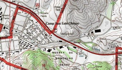
The Scanned Maps Basemap template uses custom tools to create and populate a mosaic dataset with National Geospatial-Intelligence Agency (NGA) Compressed ARC Digitized Raster Graphics (CADRG)/Enhanced Compressed Raster Graphics (ECRG) data, which can then be published as a cached image service and used as a basemap for desktop, mobile, and web applications.
Each basemap is provided as an ArcMap document organized around the ArcGIS Online/Bing Maps/Google Maps tiling scheme. The data frame in each map document is reprojected to the Web Mercator Auxiliary Sphere Projection, but the source data is maintained in its local projection.
Requirements
Scanned Maps Basemap requires specific technical experience, software, and data. Minimum system requirements for the ArcGIS Platform can be found on the Support website.
Scanned Maps Basemap is supported on ArcGIS 10.0, 10.1, 10.2, and 10.3.
| Requirement | Description |
| Experience |
|
| Software |
|
| Data |
|
What you get
The Scanned Maps Basemap tools are a subset of the Data Management tools in the Solutions Geoprocessing Toolbox; you will only need the toolbox listed below to complete the steps described in this template:
| Directory | Item | Description |
| toolboxes | Scanned Map Basemap Tools_10.3.tbx | A toolbox containing the scanned map tools |
What's new
Below are the release notes for the Scanned Maps Basemap. If you need support, please contact Esri Support Services. If you'd like to get help from other military and intelligence community members, post your question on GeoNet.
| Version | Description |
| 4.0.0 |
|
| 3.0.0 |
|
| 2.0.0 |
|
| 1.0.0 |
|
You may be interested in
... related solutions that can be configured for your organization: