This solution is now in mature support, but these scripts will continue to be maintained in GitHub. For more information please visit the Esri Product Life Cycle page.
Overview

The Import and Conversion tools are used to create features from tabular data and to convert coordinates in tables.
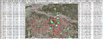
Data is collected and obtained from many sources and may be fed into multiple systems. The Import and Conversion tools rapidly convert tables of coordinates into multiple formats (i.e. MGRS, Decimal Degrees, and Degrees Minutes Seconds); and create polygons, lines of bearing, ellipses, and points from tables.
Requirements
Import and Conversion tools require specific technical experience and software. Minimum system requirements for the ArcGIS Platform can be found on the Support website.
Import and Conversion tools are supported on ArcGIS 10.0, 10.1, 10.2 and 10.3
| Requirement | Description |
| Experience |
|
| Software |
Geoprocessing Tools
|
What's New
Below are the release dates and notes for Import and Conversion
| Date | Description |
| December 2016 |
|
| March 2015 |
|
| November 2014 |
|
You may be interested in
... related solutions that can be configured for your organization: