Overview
The Local Government Information Model can be used to organize your geographic information and deploy many of the ArcGIS Solutions for Local Government maps and apps. It is a harmonized information model of GIS datasets designed to support the data management and analysis maps and apps deployed with an ArcGIS geodatabase.
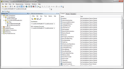
The information model is supported by the Service Catalog. This service catalog provides a collection of layers that can be used to publish feature layers in your ArcGIS organization and deploy a series of ArcGIS for Local Government solutions.
You can configure the information model and feature layers to support specific business needs in your organization by selecting and implementing specific features that are part of this integrated information model or by adding fields and modifying field and layer aliases to reflect terms more widely used in your organization.
Requirements
The Local Government Information Model requires specific software.
| Requirement | Description |
| Software |
Data Management
|
What you get
When you download the Local Government Information Model, you'll find the following files:
| Item | Description |
| DataDictionary.htm | An htm file containing the data dictionary for the Local Government Information Model that includes a description of the features, fields and domains in the information model. |
| LocalGovernment.xml | An XML workspace document used to deliver an empty schema of the Local Government Information Model. |
| LocalGovernmentReleaseNotes.pdf | A PDF document containing release notes that describe changes made to each incremental version of the Local Government Information Model. |
What's new
Below are the release dates and notes for the Local Government Information Model.
| Date | Description |
| November 2020 |
|
| June 2018 |
|
| March 2017 |
|
Detailed release notes for the Local Government Information Model.