The maps in Telecommunications solution can be accessed throughout your organization and are optimized for display on the web and on mobile devices. Select a deployment method and follow the steps below to publish the services required for solution.
- ServiceTerritory.mxd
- Network.mxd
- Customers.mxd
Telecommunications maps
To publish the telecommunications maps and add them to your ArcGIS organization, complete one of the following two steps:
- If using a hosted service, publish the maps as a feature service. Review the best practices for optimizing a hosted service and enable Optimize Layer Drawing for the layers.
- If hosting the service on premise with ArcGIS for Server or ArcGIS Enterprise, publish the maps as a dynamic map service and a feature service.
Complete the following steps on ArcGIS Online or Portal for ArcGIS:
- Sign in to your ArcGIS organization.
- Browse to the Customers service and edit the item details:
- Title: Customers
- Thumbnail image:

- Summary: Map layers with the location of customers.
- Description: A series of layers that represent business and residential customers.
- Tags: Customer, Business, Residential
- Browse to the Network service and edit the item details:
- Title: Network
- Thumbnail image:
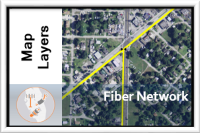
- Summary: Map layers that represent the fiber network.
- Description: A series of layers that represent the fiber network for an organization.
- Tags: Fiber, Splice, Patch, Network
- Browse to the ServiceTerritory service and edit the item details:
- Title: Service Territory
- Thumbnail image:
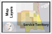
- Summary: Map layers that represent the service area and service territories.
- Description: A series of layers that represent the service area and service territories.
- Tags: Service, Area, Territory, District