Each of the Local Government Basemaps below is designed to underlay and enhance the Local Government maps and apps.
- General Purpose
- Public Safety
- Campus
- Imagery Hybrid
- Mobile Day
- Mobile Night
- Current Land Use
- Future Land Use
- Zoning
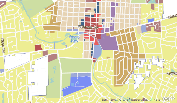
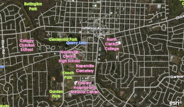
General Purpose
The General Purpose basemap provides context for a wide range of people and supports a variety of application needs within a local government. The layers in this basemap provide context for multiple workflows, such as editing data or producing web maps. It includes structures, roads, major facilities, water features, and boundaries. The General Purpose basemap can be used to create a high-resolution, multiscale basemap for a university, business campus, downtown, government complex, or military base. Additional features and map scales provide important reference information (buildings, parking areas, sidewalks, fences, and so on) to support daily decision making for facilities management, education, public works, planning, and military business needs.
Public Safety
The Public Safety basemap provides context for public safety data (incidents, events, resources, and so on). They include structures, roads, major facilities and landmarks, water features, parcels, addresses, and boundaries. This basemap uses design elements found in the General Purpose basemap but emphasizes critical facilities found in a community. It provides context for multiple workflows, such as editing data or producing web maps.
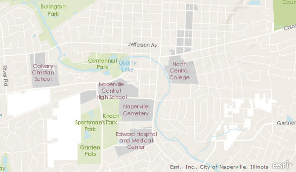
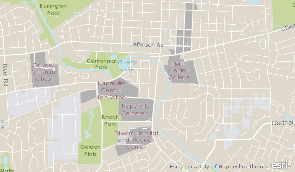
Campus
The Campus basemap can be used to create a high-resolution, multiscale basemap for a university, business campus, downtown, government complex, or military base. It provides important reference information (buildings, parking areas, sidewalks, fences, and so on) to support daily decision making for facilities management, education, public works, planning, and military business needs. This basemap is intended for use at large scales (from ~1:9000 to ~1:140) and allows users to overlay interior spaces and assets within buildings.
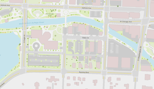
Imagery Hybrid
The Imagery Hybrid basemap provides high-resolution imagery as an alternative to much of the content contained in other basemaps. The layers in the map provide context for multiple workflows, such as editing data or producing web maps. They include roads and labels overlaid on recent imagery to provide context for the features visible on the imagery.
Mobile Day
The Mobile Day basemap provides context for field workflows and data on a mobile device. They include structures, roads, major facilities and landmarks, water features, parcels, addresses, and boundaries. This basemap uses design elements found in the General Purpose basemap but has been simplified so features are visible on field devices and outdoor conditions. In addition, the cartography in this map is optimized for use during daytime hours.
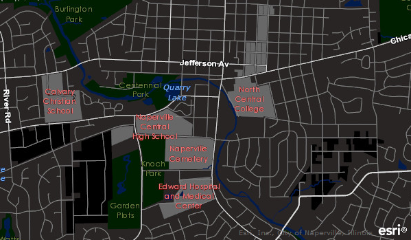
Mobile Night
The Mobile Night basemap provides context for field workflows and data on a mobile device. They include structures, roads, major facilities and landmarks, water features, parcels, addresses, and boundaries. This basemap uses design elements found in the General Purpose basemap but has been simplified so features are visible on field devices, outdoor conditions, and at night time.
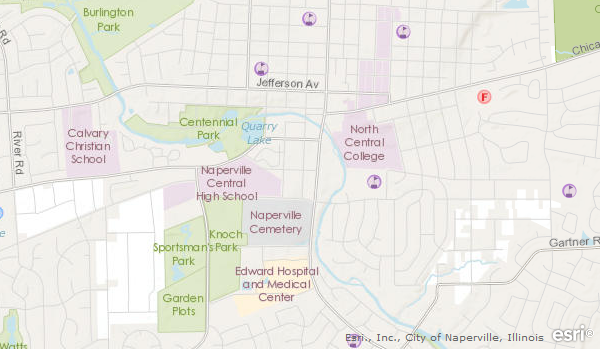
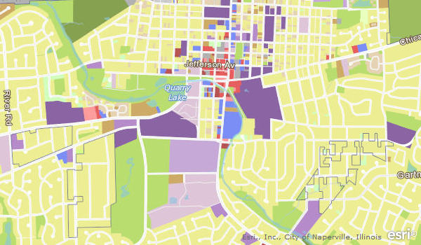
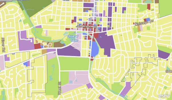
Current Land Use
The Current Land Use basemap describes how land is occupied or utilized. Current land use is tracked and rendered on each parcel. At smaller scales, this basemap aggregates individual land-use categories into general patterns that identify trends in a given community.
Future Land Use
The Future Land Use basemap describes the future land-use plan. It is a long-range plan intended to guide the growth and development of a community. This basemap accompanies the Master Plan (also known as a General or Comprehensive Plan) which represents a unified, coherent plan for land use. Future land use is tracked and rendered on each parcel. At smaller scales, this basemap aggregates individual land-use categories into general patterns that identify trends in a given community.
Zoning
The Zoning basemap is part of the zoning ordinance and describe the boundaries of zone districts. Zone districts and their corresponding regulations govern the use, placement, spacing, and size of land and buildings. Zoning is tracked and rendered on each parcel. At smaller scales, this basemap aggregates individual zoning categories into general patterns that identify trends in a given community.