This item has been moved to mature support. Capabilities replaced with the Cell Site Records to Feature Class tool.
Overview
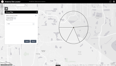
The Antenna Structures Information Model allows users to view details about their organization's wireless network. A map view of site locations and sector details are often only available for users within the carrier organization with access to the RF design and planning tools. However, this information model provides a lighter weight ETL database to extract aspects of the network information to support other business functions.
Requirements
Antenna Structure Information Model requires specific technical experience and software.
| Requirement | Description |
| Software |
Data Publishing
Map Service hosting
Application hosting
|
| Applications |
|
What you get
When you download the Antenna Structures Information Model, you'll find the following in the zip file:
| Directory | Item | Description |
| Maps and GDBs | AntennaStructures.mxd | A map document used to run the antenna structure geoprocessing model and publish the AntennaStructures service. |
| AntennaStructures.gdb | A sample geodatabase containing the antenna structures information model, update sectors geoprocessing model, and sample data. | |
| SiteSectors | The CSV file with site schema and sample data. |
What's new
Below are the release dates and notes for Antenna Structures Information Model.
| Date | Description |
| September 2016 |
|
| August 2014 |
|
| November 2013 |
|