Overview
CAMEO Data Management can be used to organize and manage Computer-Aided Management of Emergency Operations (CAMEO) data in ArcGIS.
Local, regional, and state emergency personnel and fire operations staff can visualize and analyze hazardous facility information across an entire community and use that information as a basis for planning and emergency response activities.
CAMEO software suite is developed by the United States Environmental Protection Agency (EPA) and the National Oceanic and Atmospheric Administration (NOAA) and is used to prepare for, and respond to, chemical emergencies. It is used to inventory hazardous facilities and administer the Emergency Planning and Community Right-to-Know Act (SARA Title III). CAMEO data includes incidents, special locations, resources, and facilities along with related chemical inventories.
Requirements
To deploy CAMEO Data Management with the ArcGIS Solutions Deployment Tool requires specific software.
| Requirement | Description |
| Software |
Solution deployment and map authoring
Solution hosting
|
What you get
When you download CAMEO Data Management, you'll find the following files:
| Item | Name | Description |
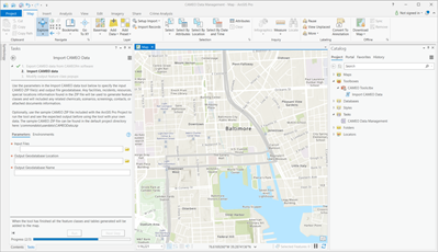
| ArcGIS Pro project | CAMEODataManagement.ppkx | An ArcGIS Pro project package used by mapping technicians to load CAMEO data and perform more detailed analysis. |
What's new
Below are the release dates and notes for CAMEO Data Management.
| Date | Description |
| February 2021 |
|
| October 2019 |
|