This item has been moved to mature support. Capabilities replaced with Gas As-Builting.
Overview
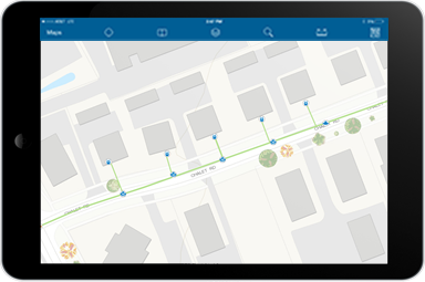
Tracking and Traceability can be used to record the location of gas assets in the ground. The solution includes a framework to save barcode and GPS location for individual assets.
Requirements
To deploy Tracking and Traceability with the ArcGIS Solutions Deployment Tool requires specific technical experience and software.
| Requirement | Description |
| Software |
Solution deployment
Solution hosting |
%>
| Applications |
|
What you Get
When you deploy Tracking And Traceability, you'll find the following:
| Item | Name | Description |
| Maps | Tracking And Traceability | A map used by mobile field crews to collect utility asset information. |
| Feature layer | Tracking and Traceability | A feature layer used to store asset information collected In the field. |
What 's new
Below are the release dates and notes for Tracking and Traceability.
| Date | Description |
| November 2023 |
|
| June 2017 |
|