Overview
Street Intersection Inventory can be used to inventory street intersections and approach characteristics (for example, approach speed, pedestrian crossings, and signal timing).
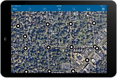
The Street Intersection Inventory map helps public works staff develop a comprehensive inventory of street intersections; and prepare this information for related maintenance management and analytical workflows.
Requirements
To deploy Street Intersection Inventory with the ArcGIS Solutions Deployment Tool requires specific software.
| Requirement | Description |
| Software |
Solution deployment
Solution hosting
|
| Applications |
|
To manually deploy Street Intersection Inventory in your organization requires specific software.
| Requirement | Description |
| Software | Map authoring
GIS service hosting
|
| Applications |
|
What you get
Street Intersection Inventory can be deployed in your ArcGIS organization without downloading the solution. When you deploy Street Intersection Inventory in your organization, you'll find the following:
| Item | Name | Description |
| Map | Street Intersection Inventory | A map used by field staff to inventory street intersections and approaches. |
| Feature layer | StreetIntersections | A feature layer used to store street intersections and approach characteristics. |
What's new
Below are the release dates and notes for Street Intersection Inventory.
| Date | Description |
| March 2023 |
|
| December 2017 |
|