This item has been moved to mature support. Please see What's new for more information.
Overview
Permit Inspection is a configuration of ArcGIS Collector and ArcGIS Dashboards that can be used by field staff to inspect permitted activities and monitor compliance of regulated activities.
Inspection results collected at regular intervals throughout the year can be monitored to ensure compliance with permitted activities.
Requirements
To deploy Permit Inspections with the ArcGIS Solutions Deployment Tool requires specific software.
| Requirement | Description |
| Software |
Solution deployment
Solution hosting
|
| Applications |
|
To manually deploy Permit Inspections in your organization requires specific software.
| Requirement | Description |
| Software | Map authoring
GIS service hosting
|
| Application |
|
What you get
Permit Inspection can be deployed in your ArcGIS organization without downloading the solution. When you deploy Permit Inspection in your organization, you'll find the following:
| Item | Name | Description |
| Application | Permit Status Dashboard (Automated deployment) | An application used by natural resource staff to monitor compliance with permitted activities. |
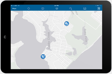
| Map | Permit Inspection | A map used by field staff to document the results of permit inspections. |
| Permit Status Dashboard | A map used in the Permit Inspection Dashboard to monitor compliance with permitted activities. | |
| Feature layer | PermitStatus | A feature layer used to store permit information. |
What's new
Below are the release dates and notes for Permit Inspection.
| Date | Description |
| November 2020 |
|
| March 2017 |
|
| December 2016 |
|
| September 2016 |
|
| June 2014 |
|