This item has been moved to mature support. Please see What's new for more information.
Overview
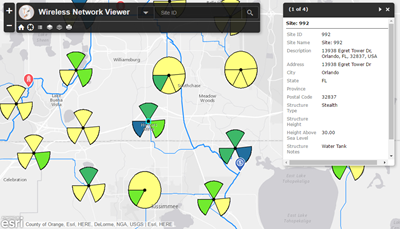
The Wireless Network Viewer can be used by a wireless organization to view and search for network assets. When configured and shared with your ArcGIS organization, all staff (from field technicians to customer service representatives to operations managers) can use this map to better understand where and what assets are in the service area. The viewer can be used on a mobile device or web browser and serves as a foundation for other maps and apps in an organization.
Requirements
Wireless Network Viewer requires specific technical experience and software.
| Requirement | Description |
| Software |
Map authoring
Map service hosting
|
| Applications |
|
What you get
When you download the Wireless Network Viewer solution, you'll find the following in the zip file:
| Directory | Item | Description |
| Maps and GDBs | WirelessNetwork.mxd | A map document used to publish the Wireless Network service. |
| WirelessNetwork.gdb | A sample geodatabase with the wireless network with sample data. | |
| Icons | A folder containing icons for the services, maps, and apps. | |
What's new
Below are the release dates and notes for Wireless Network Viewer.
| Date | Description |
| November 2020 |
|
| April 2016 |
|