Overview

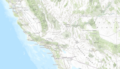
The National Security Basemaps are a set of ArcMap documents that can be used to author high-quality, essential basemaps for your organization or agency. They provide a consistent geographic context and important reference information to orient map users in desktop, mobile, and web mapping applications.
Each basemap is provided as an ArcMap document organized around the ArcGIS Online/Bing Maps/Google Maps tiling scheme. The data frame in each map document is reprojected to the Web Mercator Auxiliary Sphere Projection, but the source data is maintained in its local projection.
Requirements
National Security Basemaps require specific technical experience and software. Minimum system requirements for the ArcGIS Platform can be found on the Support website.
National Security Basemaps are supported on ArcGIS 10.0, 10.1, 10.2, 10.3 and 10.4.
| Requirement | Description |
| Experience |
|
| Software |
|
| Data |
|
What you get
When you download National Security Basemaps, you'll find the following files:
| Directory | Item | Description |
| National Security Basemaps | CanvasSDE.mxd | Map document used to publish the Canvas cached map service. |
| ImageryReferenceOverlaySDE.mxd | Map document used to publish the Image Reference cached map service. | |
| TopographicSDE.mxd | Map document used to publish the Topographic cached map service. | |
| CanvasStyleFiles |
|
Style files used to symbolize the Canvas map at different scales. |
| ImageryReferenceOverlayStyleFiles |
|
Style files used to symbolize the Image Reference map at different scales. |
| TopographicBasemapsStyleFiles |
|
Style files used to symbolize the Topographic map at different scales. |
What's new
Below are the release dates and notes for National Security Basemaps.
| Version | Description |
| 2.0.1 |
|
| 2.0.0 |
|
| 1.0.0 |
|
You may be interested in
... related solutions that can be configured for your organization: