This item has been moved to mature support. Please see What's new for more information.
Overview
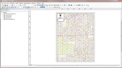
The Fire Station Wall Map is used by the engine driver and fire operational staff to produce large-format wall maps of each fire response service area. The map can be used with Data Driven Pages, which allows you to create a series of maps from a single Fire Station Wall Map document. The Fire Service Response Area layer divides the map into individual map layout pages with one response area for each fire station.
Requirements
Fire Station Wall Map requires specific software.
| Requirement | Description |
| Software | Map authoring
|
What you get
When you download the Fire Station Wall Map, you'll find the following files:
| Directory | Item | Description |
| Application | Output | A folder for the final FireStationWallMap.pdf output. |
| MapsandGeodatabase | FireStationWallMap.mxd | A map document used to produce large-format wall maps of each fire response service area. |
| Station8WallMap.pdf | A sample station wall map. | |
| LocalGovernment.gdb | ArcGIS for Local Government geodatabase with content from the City of Naperville, Illinois. |
What's new
Below are the release dates and notes for Fire Station Wall Map.
| Date | Description |
| April 2018 |
|
| March 2017 |
|
| June 2016 |
|
| July 2015 |
|
| December 2014 |
|
| June 2014 |
|
| June 2013 |
|
You may be interested in
ArcGIS for Local Government includes several related maps and apps that also can be configured in your organization: