To use the Pole Reports solution with your utility data, the sample feature datasets need to be projected to match the coordinate system of your utility's service area data.
To project the sample feature datasets, complete the following steps:
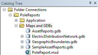
- In ArcCatalog, navigate to the Maps and GDBs folder.
- Rename the sample reports geodatabase from AssetReports to SampleAssetReports.
- In the Maps and GDBs folder, create a new file geodatabase named AssetReports. This will ensure the data paths in the map document and configuration files will point to your projected datasets.
- In ArcCatalog, navigate to ArcToolbox > Data Management Tools > Projects and Transformations.
- Open the Batch Project tool.
- Select the contents of the SampleAssetReports.gdb as the input feature datasets, set the output workspace to the new AssetReports.gdb, and set the coordinate system of your utility data as the output coordinate system.
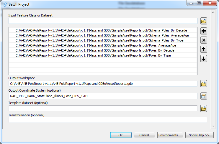
- Click OK to run the tool. When complete, the feature datasets projected in your coordinate system will be in the AssetReports.gdb.