You can configure the sewer service lookup map, share it with the public, and add the map to a configurable application template. The app is designed to be embedded on a utility's website for the public to view service availability for a chosen location.
Sewer service lookup map
To create an ArcGIS Online Sewer Service Lookup map, complete the following steps:
- Sign in to your ArcGIS organization.
- Create a map that can be used by the public to query if sewer service is available by completing the following workflows:
- Choose a basemap.
- Add the service area layer, and optionally the request tracking layer, to the map.
- Configure the service area layer pop-up properties.
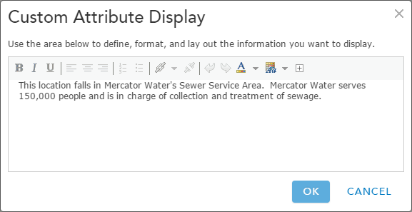
An example of the service area layer pop-up configuration - Save the map.
- Uncheck the visibility for the Service Area and Request Tracking layers.
- Share the map with everyone and your Public Map & Apps group.