Overview
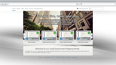
ArcGIS Online is a cloud-based mapping platform for organizations that can be used from anywhere on any device, web browser, or desktop application. Organizations can subscribe to this secure platform and use it to manage, create, store, and access hosted services, maps and applications.
The model organization is a guide you can use to set up your ArcGIS Online organization and begin to leverage ArcGIS Online as a mapping portal for your organization. In addition, you will learn how to organize services and author relevant maps and apps for users in your organization and the citizens you serve and invite users into your organization to fill key roles in your online GIS system.
Requirements
ArcGIS Online for Local Government requires specific software.
| Requirement | Description |
| Software |
|
What you get
When you download the ArcGIS Online for Local Government, you'll find the following files:
| Item | Description |
| Icons | A folder containing a series of icons used in the model organization. |
| AGOLBannerTemplate.ppt | A Microsoft PowerPoint document used to create an ArcGIS Online home page banner. |
| AGOLThumbnailTemplate.ppt | A Microsoft PowerPoint document used to create icons for each ArcGIS Online item. |
What's new
Below are the release dates and notes for ArcGIS Online for Local Government.
| Date | Description |
| November 2020 |
|
| December 2017 |
|
| December 2015 |
|
| October 2014 |
|
| June 2014 |
|
| April 2014 |
|