The maps in Gas Facility Map solution can be accessed throughout the utility's organization and are optimized for display on the web and on mobile devices. Select a deployment method and follow the steps below to publish the services required for the solution.
- CathodicProtection.mxd
- GasLeaks.mxd
- GasNetwork.mxd
- GasPressure.mxd
- IsolationAreas.mxd
- ServiceArea.mxd
Gas facility maps
To publish the Gas Facility maps and access them in your ArcGIS organization, complete one of the following two steps:
- If using a hosted service, publish the maps as a feature service. Review the best practices for optimizing a hosted service and enable Optimize Layer Drawing for the layers.
- If hosting the service on premise with ArcGIS for Server or ArcGIS Enterprise, publish the maps as a dynamic map service and a feature service.
Complete the following steps on ArcGIS Online or Portal for ArcGIS:
- Sign in to your ArcGIS organization.
- Browse to the CathodicProtection service and edit the item details:
- Title: Cathodic Protection
- Thumbnail image:
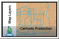
- Summary: Map service displaying the cathodic protection system.
- Description: Map service displaying the cathodic protection system. These layers have been optimized for display on the web and mobile devices.
- Tags: Cathodic Protection, Corrosive, Gas Network
- Browse to the GasLeaks service and edit the item details:
- Title: Gas Leaks
- Thumbnail image:
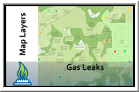
- Summary: Map service to view current gas leaks.
- Description: Map service displaying current gas leaks location by class.
- Tags: Gas Leaks, Soils
- Browse to the GasNetwork service and edit the item details:
- Title: Gas Network
- Thumbnail image:
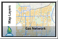
- Summary: Map layers that represent the gas distribution network with cartography designed for web and mobile devices.
- Description: A series of layers that represent the gas utility network for a utility. These layers have been optimized for display on the web and mobile devices.
- Tags: Gas, Network, Main, Valve, Stations, Meter
- Browse to the IsolationAreas service and edit the item details:
- Title: Isolation Areas
- Thumbnail image:
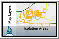
- Summary: Map service to view isolation zones.
- Description: Map service to view isolation zones in the service area.
- Tags: Isolation Area
- Browse to the Pressure service and edit the item details:
- Title: Gas Pressure
- Thumbnail image:
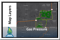
- Summary: Map service to provide an overview of the gas network by operating pressure.
- Description: Map service to view the gas network by operating pressure.
- Tags: Mapping, Pipes, Pressure, Operations
- Browse to the ServiceArea service and edit the item details:
- Title: Service Area
- Thumbnail image:
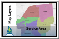
- Summary: Map service to view the service area.
- Description: Map service to view the gas utility's service area.
- Tags: Service Area