Overview


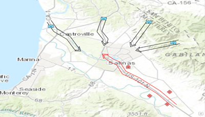
In support of military operations and planning, the military uses standard map symbols to visualize the battlefield. These symbols represent military units, equipment and installations, along with tactical graphics to show military operations, boundaries or other special designations. The symbols are also color coded to represent friendly, enemy, or neutral entities. Military Symbol Editor supports:
- MIL-STD-2525B Change 2
- MIL-STD-2525C
- MIL-STD-2525D
- APP-6(B)
- APP-6(D)
Requirements
The specific software and system requirements for the Military Symbol Editor solution are listed below.
| Requirement | Description |
| Software |
|
What you get
The Military Symbol Editor includes the following:
| Component | Folder | Description |
| ArcGIS Pro | ArcGIS Pro 2.2-2.5 | Contains MilitarySymbolEditor.esriAddinX |
| Military Symbol Editor in ArcGIS.pdf | Help documentation for the Military Symbol Editor | |
| Military Symbol Editor Online Help | Internet shortcut to online Military Symbol Editor documentation |
What's new
Below are the release notes for the Military Symbol Editor. If you need support, please contact Esri Support Services. If you'd like to get help from other defense community members, post your question on GeoNet.
| Date | Description |
| August 2020 |
|
| February 2020 |
|
| October 2019 |
|
| June 2019 |
|
| March 2019 |
|
| January 2019 |
|
| September 2018 |
|
| June 2018 |
|
| June 2017 |
|
| May 2017 |
|