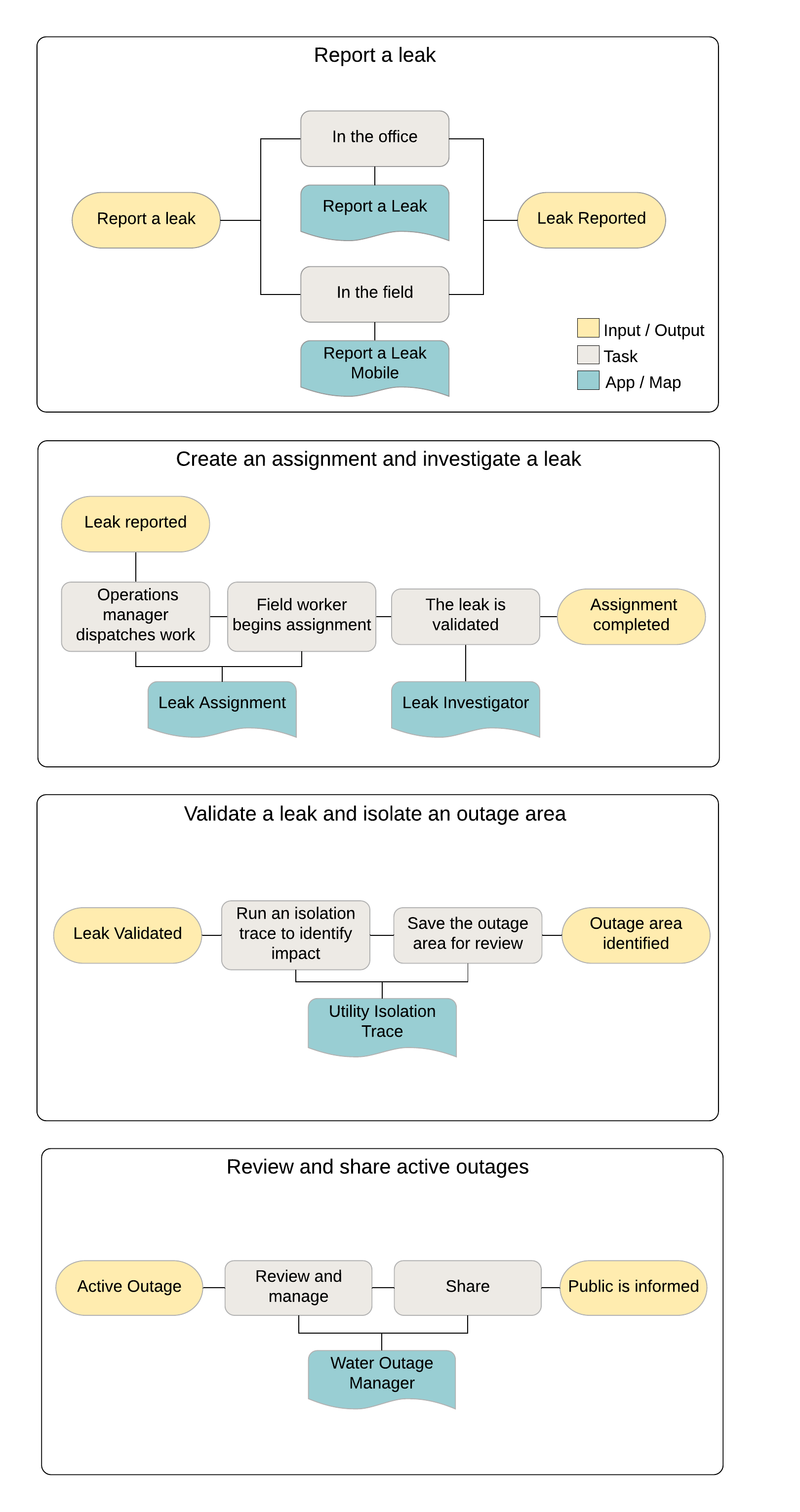
The Water Outage template helps utilities quickly respond to main breaks, reduce water loss, and mitigate the impact to customers. Water Outage includes maps and apps that can be used to quickly identify the extent of a break, notify appropriate staff, inform the public, and monitor response activities. These apps will be deployed in a dedicated ArcGIS Online organization and provisioned to key users within your utility. These maps and apps in ArcGIS Online are complemented by an ArcGIS Enterprise network trace service allowing you to run isolation traces on your network data in a hosted environment.
The following diagram illustrates the general workflow a utility will follow using the Water Outage maps and apps: 